Overview of Web GIS
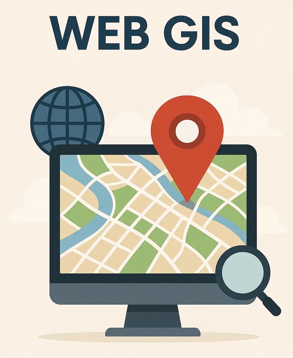
Web GIS is an advancement of traditional geographic information systems (GIS) that allows users to access, analyze, and share geographical information over the internet. It utilizes web protocols and interfacing with web browsers to provide a platform for spatio-temporal data analysis, visualization, and dissemination.
Definition of Web GIS 🗺
Web GIS is a type of distributed information system that comprises at least a server and a client, where the server is a GIS server and the client is a web client. It is a GIS on the World Wide Web that allows users to create, view, update, and analyze geospatial data and maps on the internet.
Key Characteristics of Web GIS 🔑
- Global reach by HTTP/HTTPS 🌍
- Support for a large number of users simultaneously 👥
- Better cross-platform capability 💻
- Accessibility for the disabled ♿️
- Security 🔒
- Data quality 📊
- System performance ⚙️
- Accessibility in poorly connected locations 📶
- Maintenance costs 💰
Applications of Web GIS 📌
Web GIS has diverse applications, including:
- Collaborative collection of geospatial data 🗃
- Volunteering geographic information system 🌱
- Design and planning of government projects 🏛
- Urban flood management 🌊
- Natural disasters 🌪
- Environmental monitoring 🌿
- Transportation 🚗
- Public health 🏥
Benefits of Web GIS 🌟
The benefits of using Web GIS include:
- Greater accessibility to geographical data 🌐
- Real-time data updates ⏱
- Collaborative environment 🤝
- Cost-effectiveness 💵
- Capacity to handle and analyze substantial amounts of spatial data 📈
Tools and Technologies for Web GIS 🛠
Some of the tools and technologies used for Web GIS include:
- GeoServer
- Open Geospatial Consortium (OGC) services
- Web Map Services (WMS)
- Web Feature Service (WFS)
- Web Coverage Service (WCS)
- Open Layers
- Leaflet
- Mapbox GL
- ArcGIS APIs
Challenges of Web GIS ⚠️
Some of the challenges of implementing Web GIS include:
- Accessibility for the disabled ♿️
- Security 🔒
- Data quality 📊
- System performance ⚙️
- Accessibility in poorly connected locations 📶
- Maintenance costs 💰
Why Open Source Software for Web GIS? 🔓
Open source software is used for Web GIS because of its:
- FREE 💸
- Accessibility 🌍
- Large community support 👥
- Control over the software 🛠
Conclusion 📝
Web GIS is a powerful tool for accessing, analyzing, and sharing geographical information over the internet. It has diverse applications and benefits, including greater accessibility to geographical data, real-time data updates, collaborative environment, cost-effectiveness, and capacity to handle and analyze substantial amounts of spatial data. However, it also has challenges, including accessibility for the disabled, security, data quality, system performance, accessibility in poorly connected locations, and maintenance costs. Open source software is used for Web GIS due to its FREE, accessibility, large community support, and control over the software.